Structural Mapping and Structural-Economic Interpretation of the Low-Sulphidation (LS) Epithermal Goldchain Project , Arizona
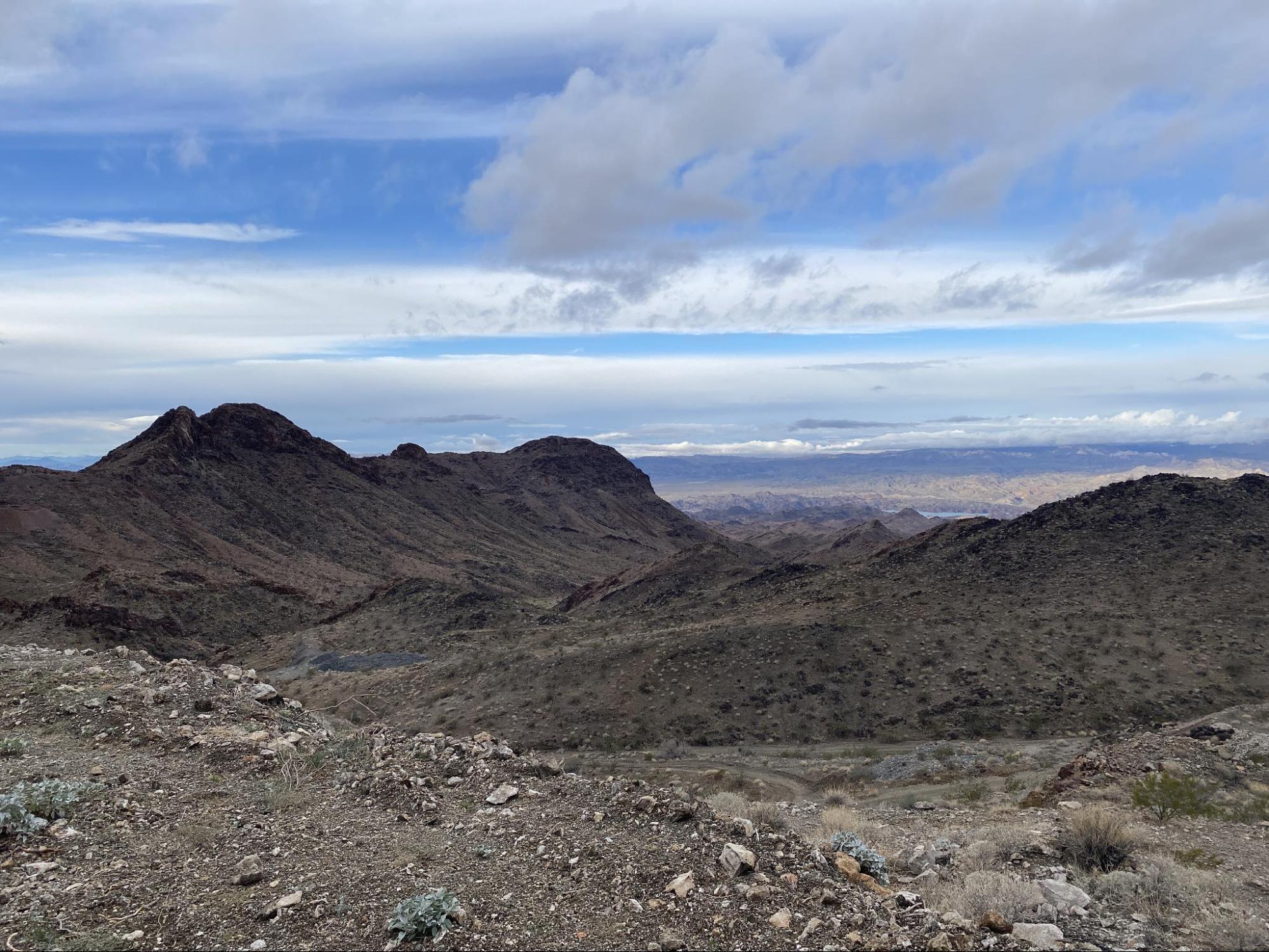
The project area is in the Oatman Gold Mining District of Mohave County, western Arizona, approximately 15 km north of the Moss (Au-Ag) mine and in proximity to several historic Au-producing operations, including the Frisco, Arabian and Katherine mines. The main mineralized zone corresponds to the Tyro target, a 100-year-old underground mine, with further work undertaken during the 1980’s. The LS Au-Ag epithermal system is hosted within Middle Miocene to Oligocene volcanic units. Mineralisation shows complex structural controls, with syn- to post-mineralization deformation primarily defining Au distribution. The deposit and surrounding targets are located within a regional-scale horst formed during Miocene extension and uplift of metamorphic core complexes, with NNW-SSE- to N-S-trending normal faults representing key structural controls on the distribution and preservation of mineralisation.
TECT conducted detailed structural mapping across the Tyro, Sheep Trail and Sunset vein targets, generating a structural map and cross-sections and identifying multi-scale controls on mineralization. These controls range from inherited basement structures to late-stage, post-mineralization faulting that segmented the system into discrete fault-bounded blocks.. Differential uplift of these individual structural blocks juxtaposed relatively deeper levels against shallower levels within the mineralization system. Through integrated structural and geological mapping, supported by observations on mineralogy and alteration, blocks containing better-preserved and less eroded portions of the epithermal system were identified. This refined structural–economic interpretation has enhanced the understanding of the overall architecture of the mineralization system and provides a robust foundation for 3D geological modelling and district-scale target generation.